
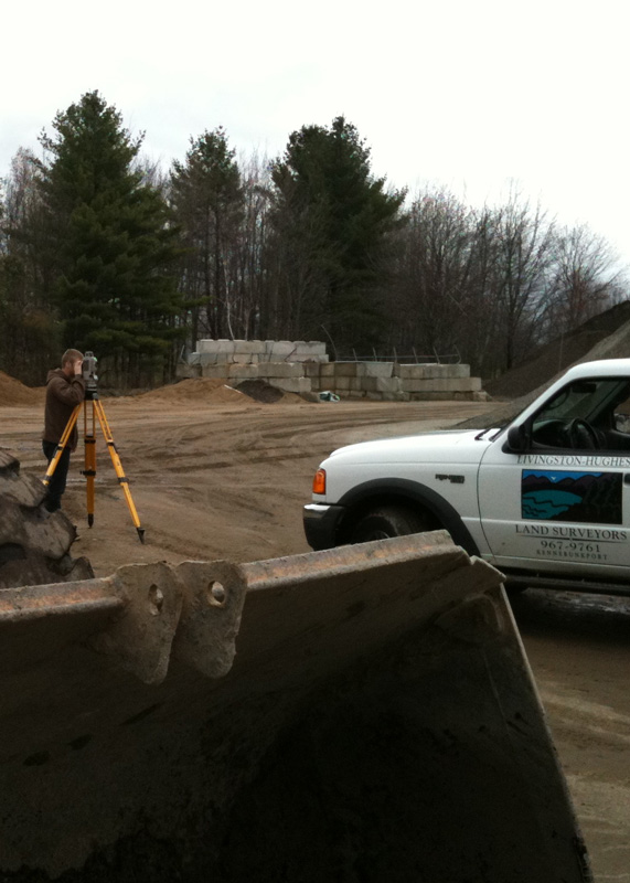
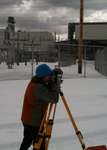
LAND SURVEYING SERVICES
Boundary Survey
Most land in populated areas of Maine was originally divided and conveyed with “metes and bounds” descriptions. Unlike many other areas of the country, Maine was never sectionalized, or gridded into rectangular parcels as much of the nation was during early expansion. This makes the Maine landscape interesting with irregular bounds following tree lines, streams, stone walls, and other natural boundaries. It also can make surveying these lines challenging.
 A boundary survey begins with comprehensive deeds research. This takes place at the County Registry of Deeds, municipal offices, with abutters and often other land surveyors. This research may focus on deeds well over 100 years old and will depict record lines created by deeds or plans. We examine the sequence of conveyance in order to determine if there are deficiencies or excesses in the deed. We then create a preliminary deed sketch or worksheet to help in the development of our opinion relative to the lot lines.
Next, all available evidence (monuments, fences, roadways) that pertain to the subject property are found and measurements made to create a direct relationship between the subject and abutting parcels. In many cases other structures and various other improvements on the parcel are also located including driveways, bodies of water, outbuildings or anything that looks like it may encroach onto the parcel or an adjacent parcel. Technology helps us to measure and map these features so that boundary lines can be calculated. Once everything in the field has been located, all data is reviewed and our professional opinion as to the boundary lines is rendered. The survey is completed by setting monuments at missing corners and culminates in the creation of a survey plan. This plan is a visual representation of the parcel, as well as any other pertinent information that may need to be shown (e.g. acreage calculations, visible improvements, deeded easements, encroachments, rights of way). Clients will have peace of mind knowing where the property lines are.
Site Plan
When a builder, engineer, architect or other professional needs to have visual representation of their project and how it will fit within the confines of the subject parcel, a Site Plan is prepared. Often times when you’re planning to build a new home or build an addition on to an existing home, a Site Plan will be required by a building inspector or zoning administrator so they can see exactly where improvements will be made. All existing monuments can be located and relationships shown. This, however, is not a Boundary Survey and new monuments will not be set nor will existing monuments be validated.
Construction Layout & All Phases of Construction (Residential & Commercial)
Construction Stakeout
Construction stakeouts demand accuracy and consistency for a high-quality end result. An expertly conducted stakeout is the first step for any construction project. Construction efficiency is always easier to achieve when key features are clearly and correctly marked through an accurate survey. LivingstonHughes takes pride in its reliable construction stakeout services for both large and small jobs.
As-Built Surveys
Typically performed after construction, these surveys note the improvements made to a property. The locations of structures are checked for correctness and the locations of new utilities are noted for future reference.
Topographic Survey
A “Topo” survey records property features in three dimensions. It includes identifying the contours of the ground and features that exist on the ground and/or above the earth’s surface. The survey may include buildings, improvements, trees, bushes, sidewalks, and many other features. The use of elevation allows for land contours to be determined- a crucial factor for many land uses, especially with regard to drainage. Data gathered from a detailed tapa survey is an important resource when planning improvements to a given piece of land. Livingston-Hughes Surveyors has had extensive experience with large and small tapa surveys conducted for various commercial and residential properties.